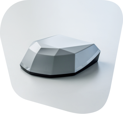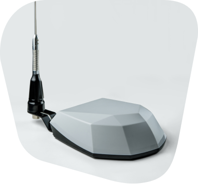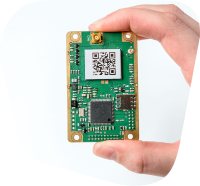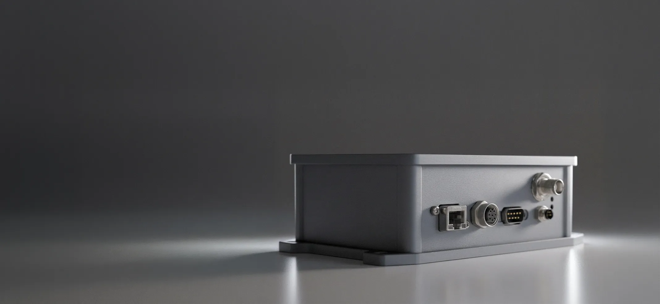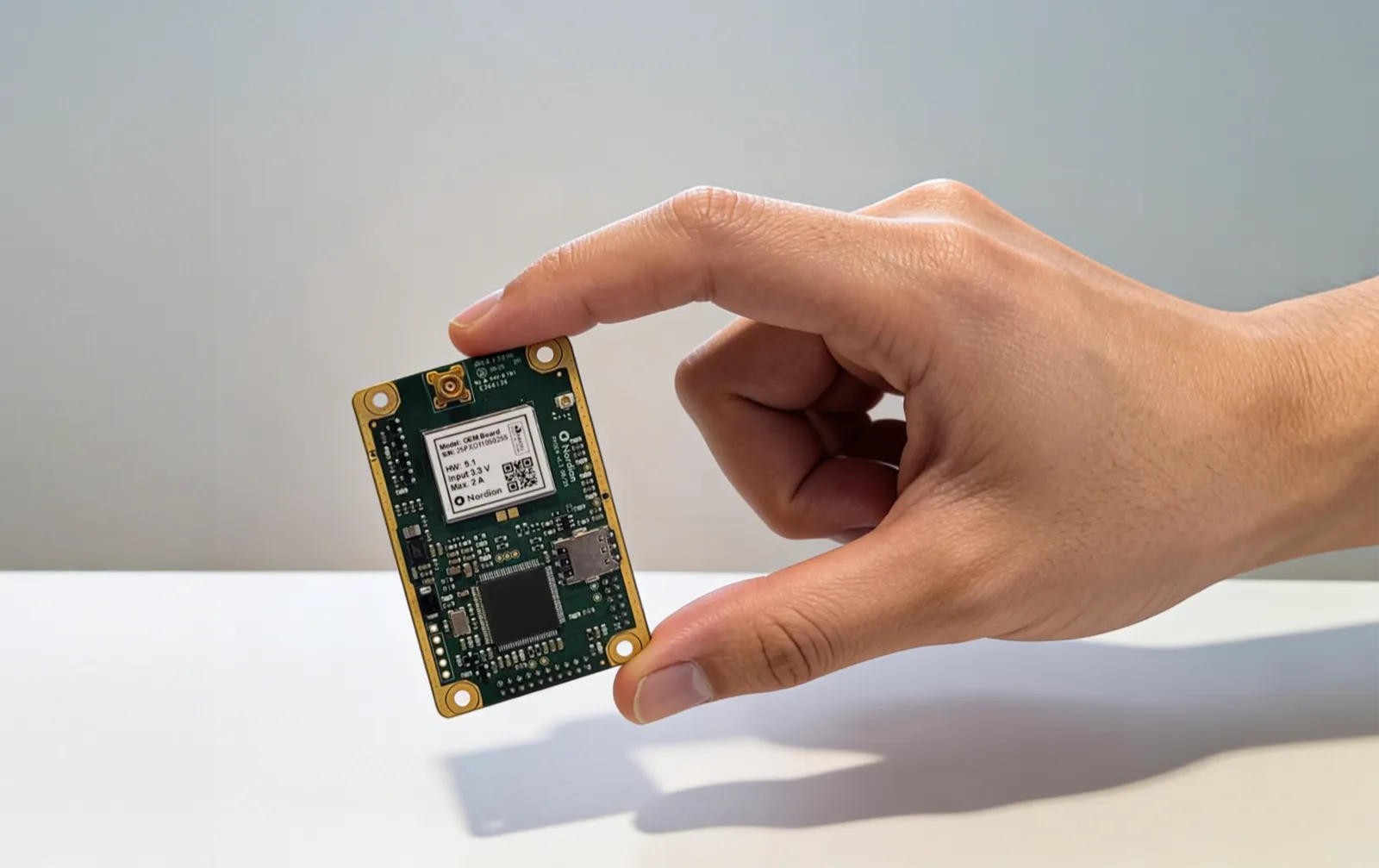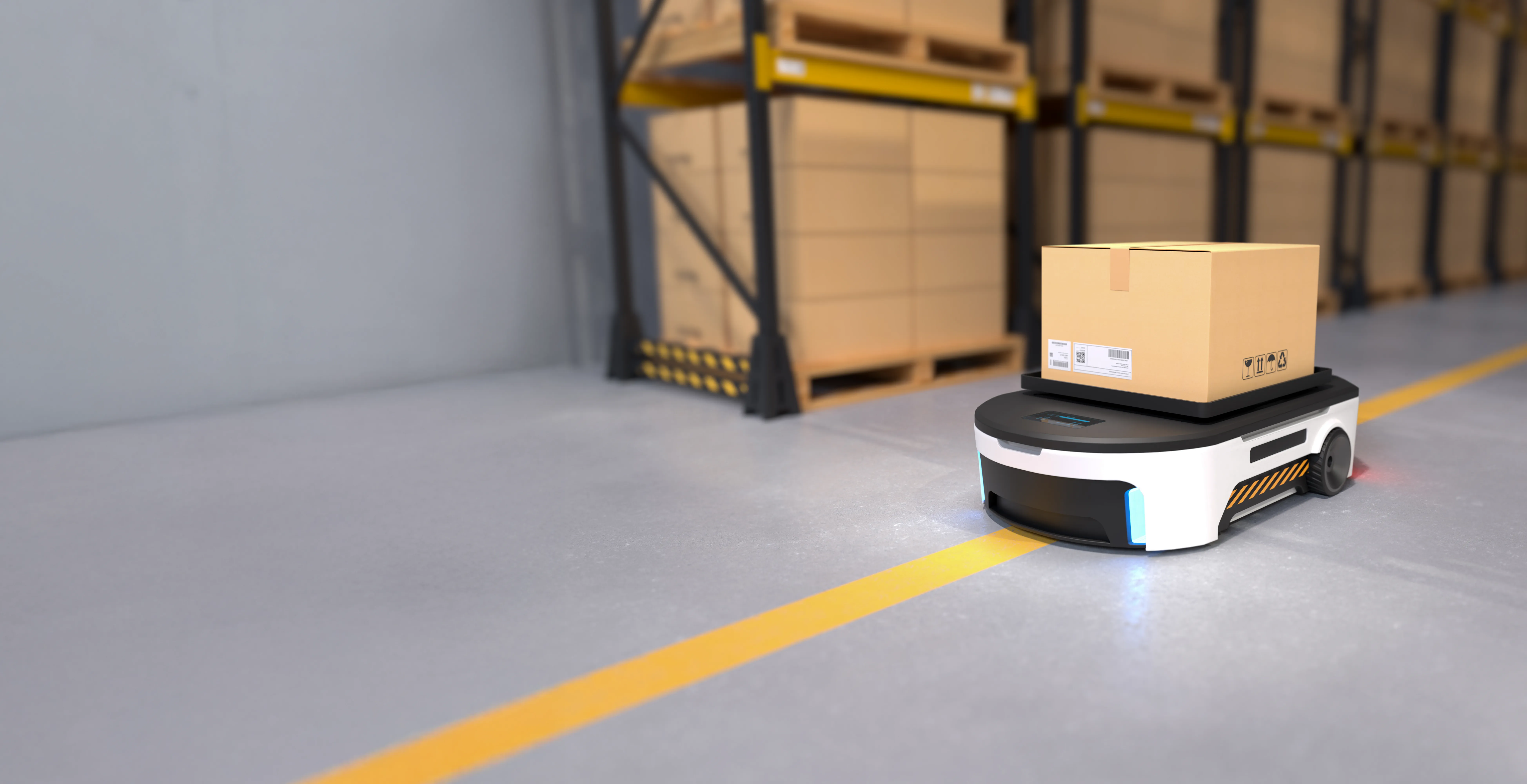
High-precision GNSS for robotic navigation, Physical AI, and autonomous operation. RTK corrections over NTRIP, plus L-band satellite corrections when there's no internet connection, for industrial automation, agriculture, and autonomous vehicles.

1-3 cm (0.03 m RMS) horizontal accuracy with supported RTK corrections under specified conditions, for repeatable flight lines, consistent mapping, and documented survey data.

Multi-band, multi-constellation tracking and multiple correction-delivery paths are designed to support continuity when signal or connectivity degrades.
Inaccurate positioning in dynamic environments.
Integrating positioning into existing robotic platforms.
Operational inefficiency from imprecise localization.
Real-time centimeter-level corrections give autonomy stacks a more consistent position input.
Standard NTRIP/RTCM v3 interfaces are designed to reduce integration work on supported platforms.
One reference network supports repeatable paths and coordination across a fleet.
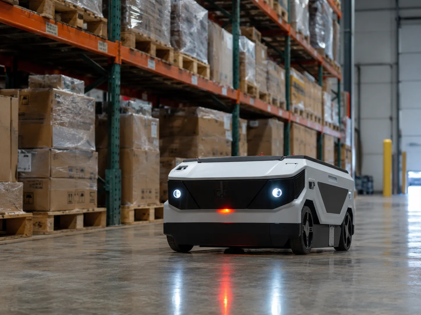
Tell us about your operation and we'll recommend the best correction setup for your area.
Different sectors. One intelligence. Infinite possibilities.