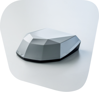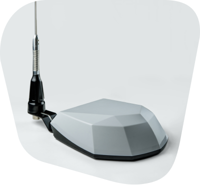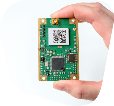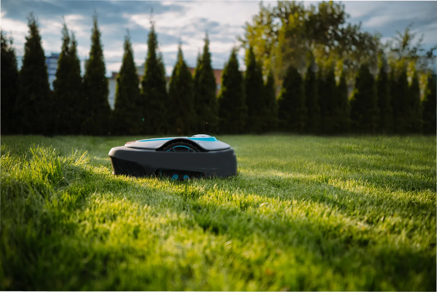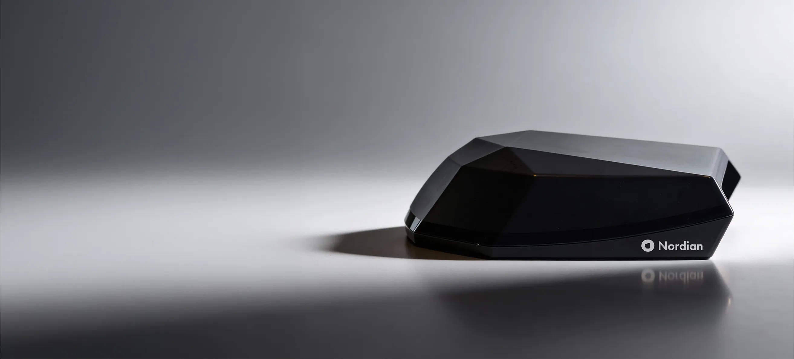
Ultra works with Nordian Soft-Intelligence corrections by satellite (L-band) or the internet (NTRIP) and real-time, centimeter-level precision without local infrastructure or additional equipment.
Conventional GNSS
Ultra precision
Ultra keeps positioning precise and devices connected in environments where failure is not an option.
Centralized Management
Dashboard for real-time activation, plan management and remote device locking.
Satellite Connectivity
Bi-directional satellite communication for telemetry in areas without cellular or internet coverage.
Remote updates
Over-the-air updates keep your device improving over time with no service visits or downtime.
High-performance positioning with 0.03 m accuracy powered by multi-band GNSS, seamless sensor fusion and satellite connectivity to deliver stable centimeter-level precision anywhere.
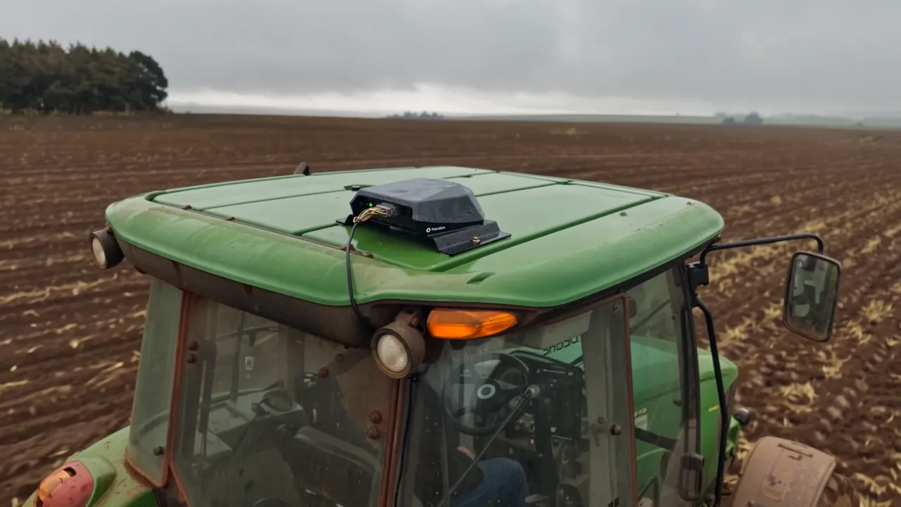
Reach centimeter-level precision within 60 seconds so you can start the job sooner and keep moving.

Coupled GNSS + IMU sensor fusion delivers smooth, lag-free positioning during fast turns and tight maneuvers.

Maintains accuracy on slopes and uneven ground by correcting pitch, roll and terrain effects.

Provides position smoothing for improved pass-to-pass consistency, delivering fewer positioning jumps and steadier guidance lines.

Two devices units in moving-base configuration provide precise vehicle orientation relative to true North, whether moving or stationary.
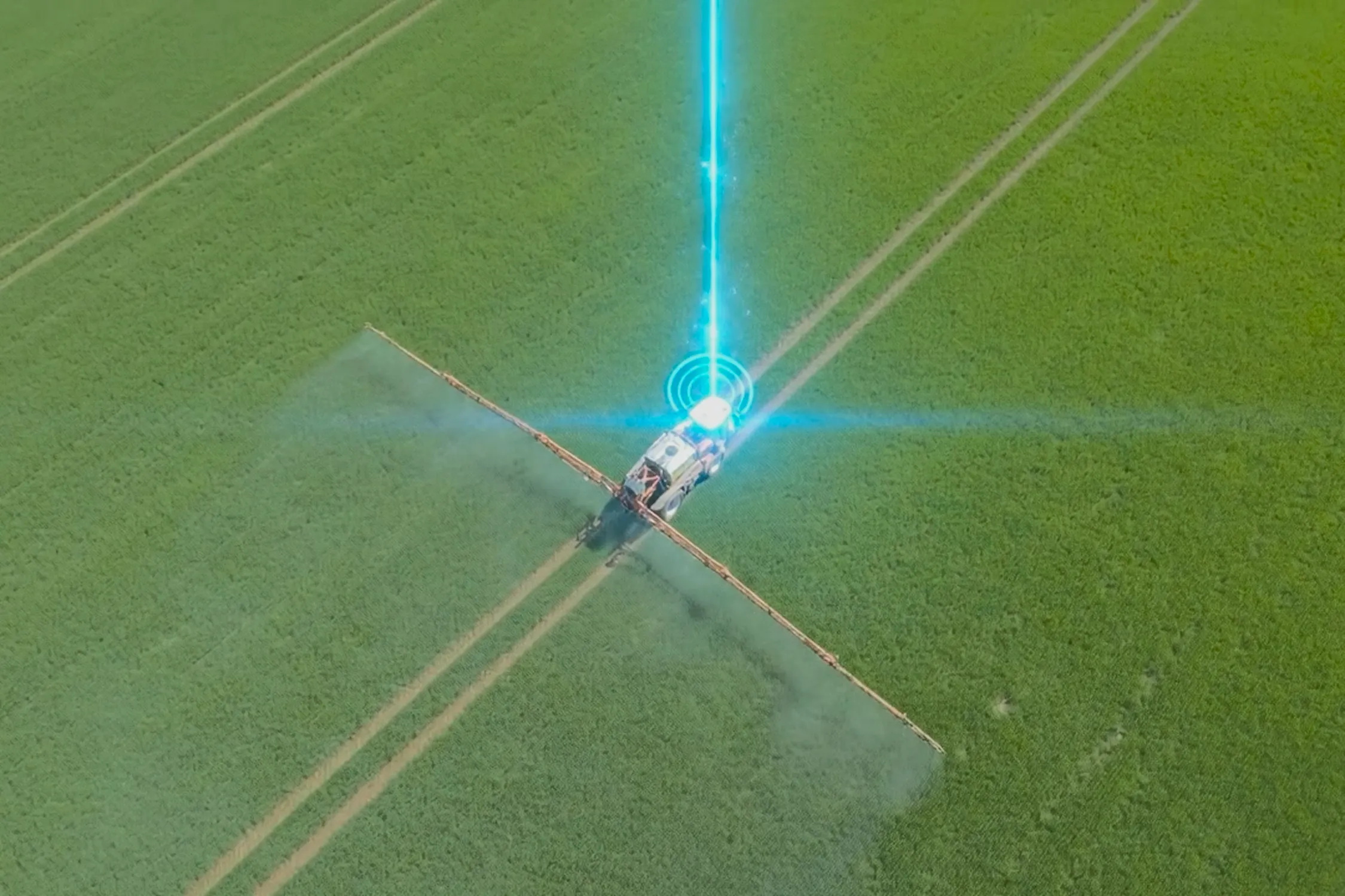
Remote firmware updates via satellite or cellular keep the system always aligned with the latest features and requirements.
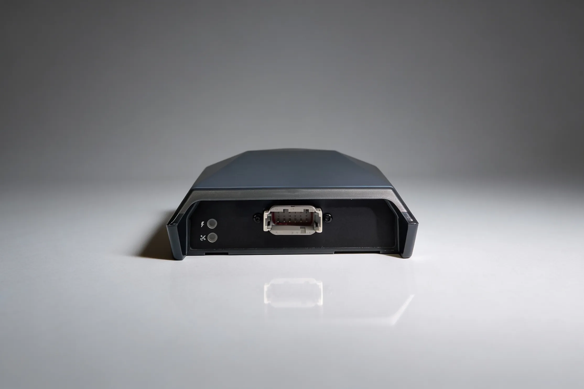
Multiple vehicle and sensor interfaces such as serial ports, CAN FD bus and PPS support broad integration across equipment platforms.

Provides 0.03 m RMS horizontal precision using triple-band, multi-constellation GNSS.
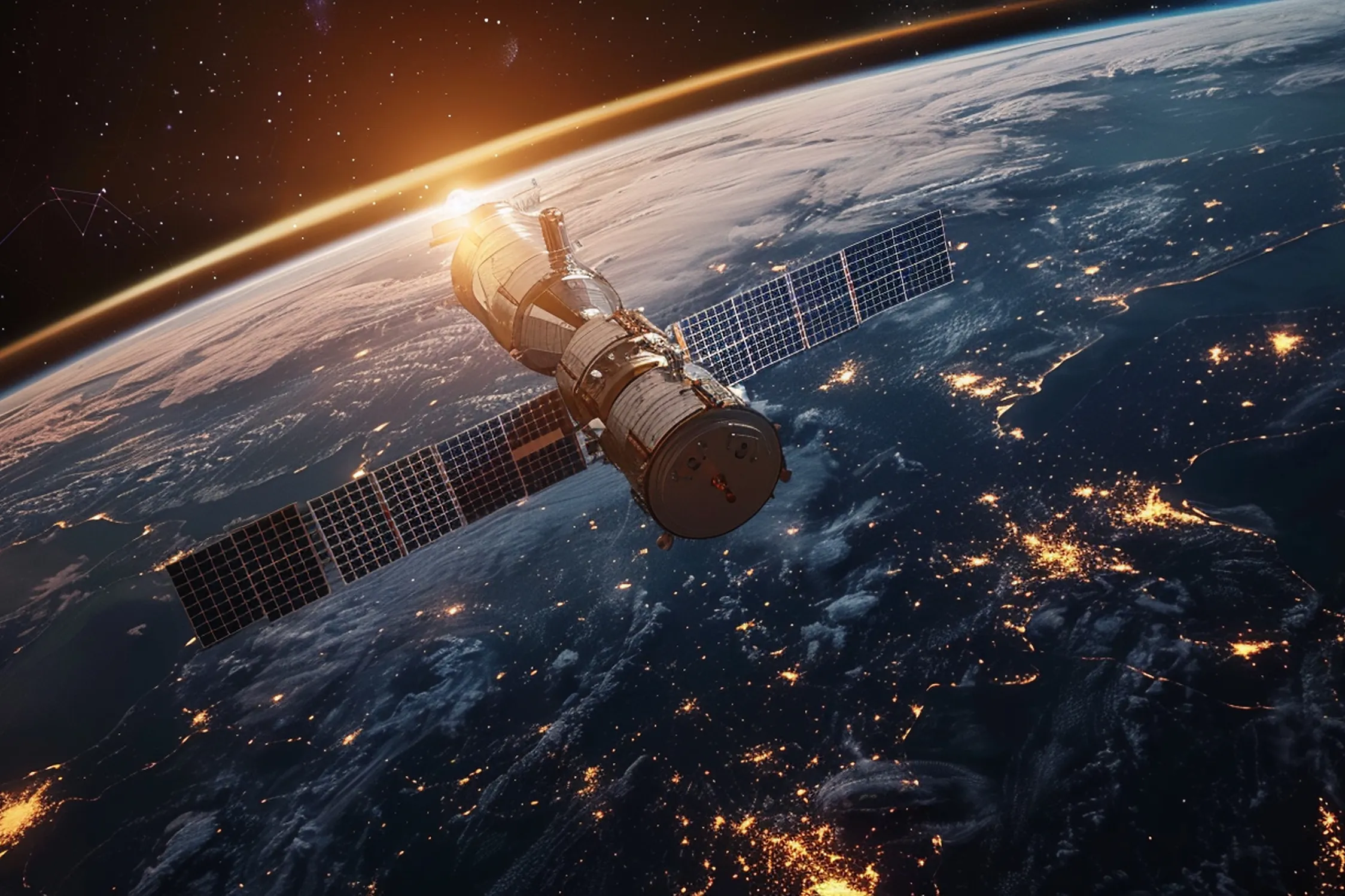
Transmits diagnostics and status alerts over two-way satellite communication when cellular coverage is unavailable.

Dust-tight, water-resistant, and vibration-tested. Built for hard environments, from farms to mines.
*With P2 correction service