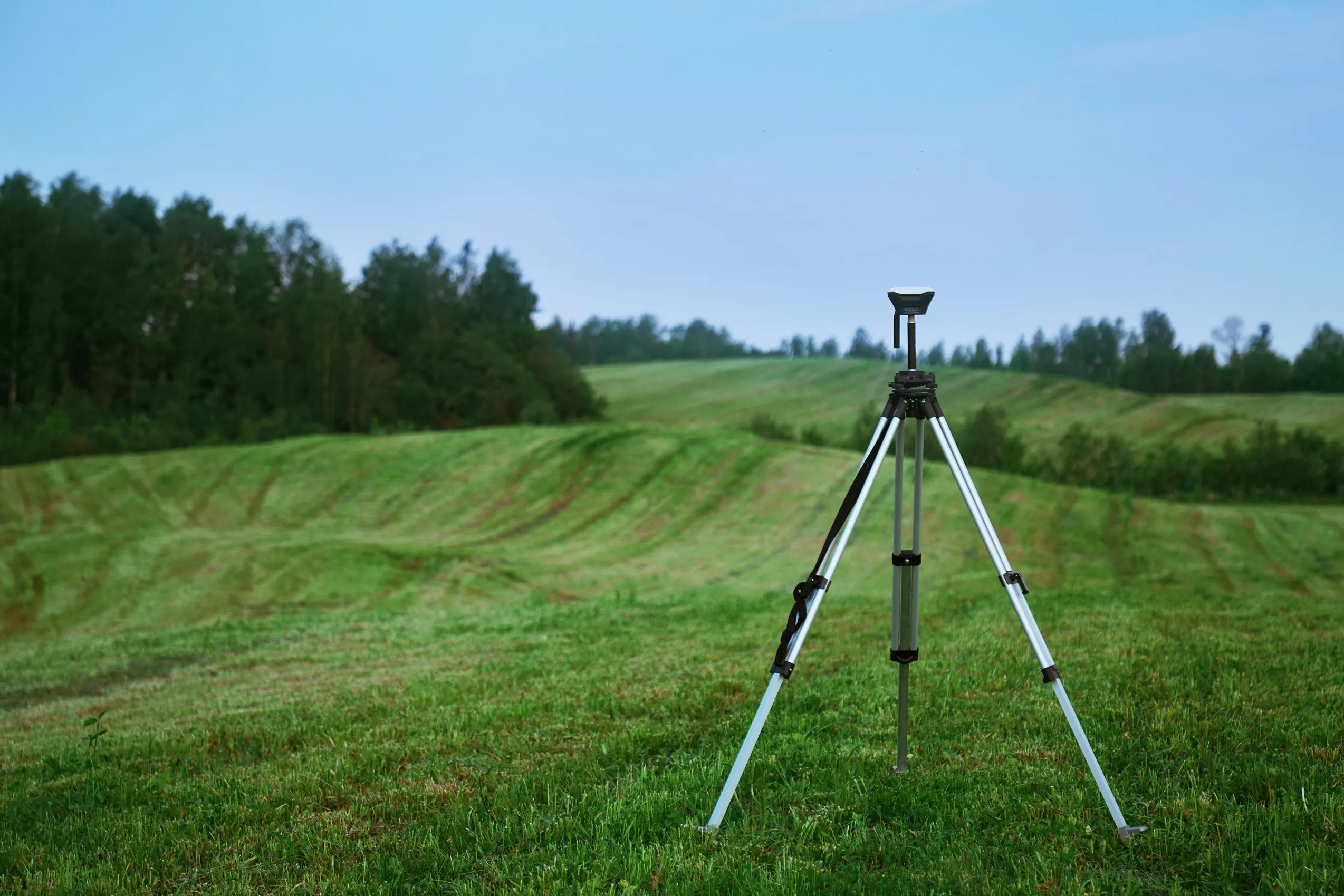
Surveying GNSS receiver mounted on a tripod in a grassy field at dusk, with rolling hills and a tree line in the background.
APPLICATIONS.

Surveying without a base station

Nordian delivers network RTK corrections over NTRIP to RTK-capable receivers, giving land mapping, construction, and infrastructure teams centimeter-level accuracy without setting up a local base station.
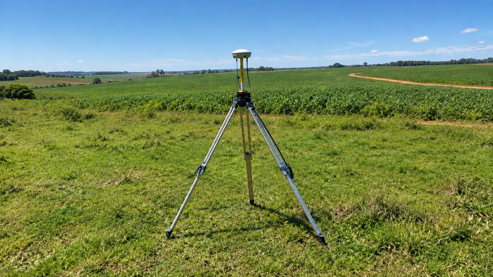
GNSS receiver mounted on a tripod in a cropland field with a dirt road, under a clear blue sky.

Seamless integration

Compatible with supported NTRIP/RTCM-capable surveying instruments and existing field workflows.

Surveyor holding a GNSS rover pole next to a tripod-mounted receiver, with a city skyline in the background.

High-accuracy measurements

1-3 cm (0.03 m RMS) horizontal accuracy with supported RTK corrections under specified conditions, for consistent, repeatable measurements and documented survey data.
CHALLENGES AND SOLUTIONS.

Surveying challenges and how we solve them.

Problem

Inconsistent positioning data leading to measurement errors.

Time-consuming data collection and post-processing.

Base stations to transport to remote or varied locations.

Deliverables tied to the wrong reference frame.

Our solution

High-precision corrections help reduce positioning error within supported coverage areas.

Real-time corrections in the field are designed to reduce post-processing work.

NTRIP corrections reduce the need to carry a base station to each site.

Corrections support both SIRGAS2000 and ITRF2020 reference frames.

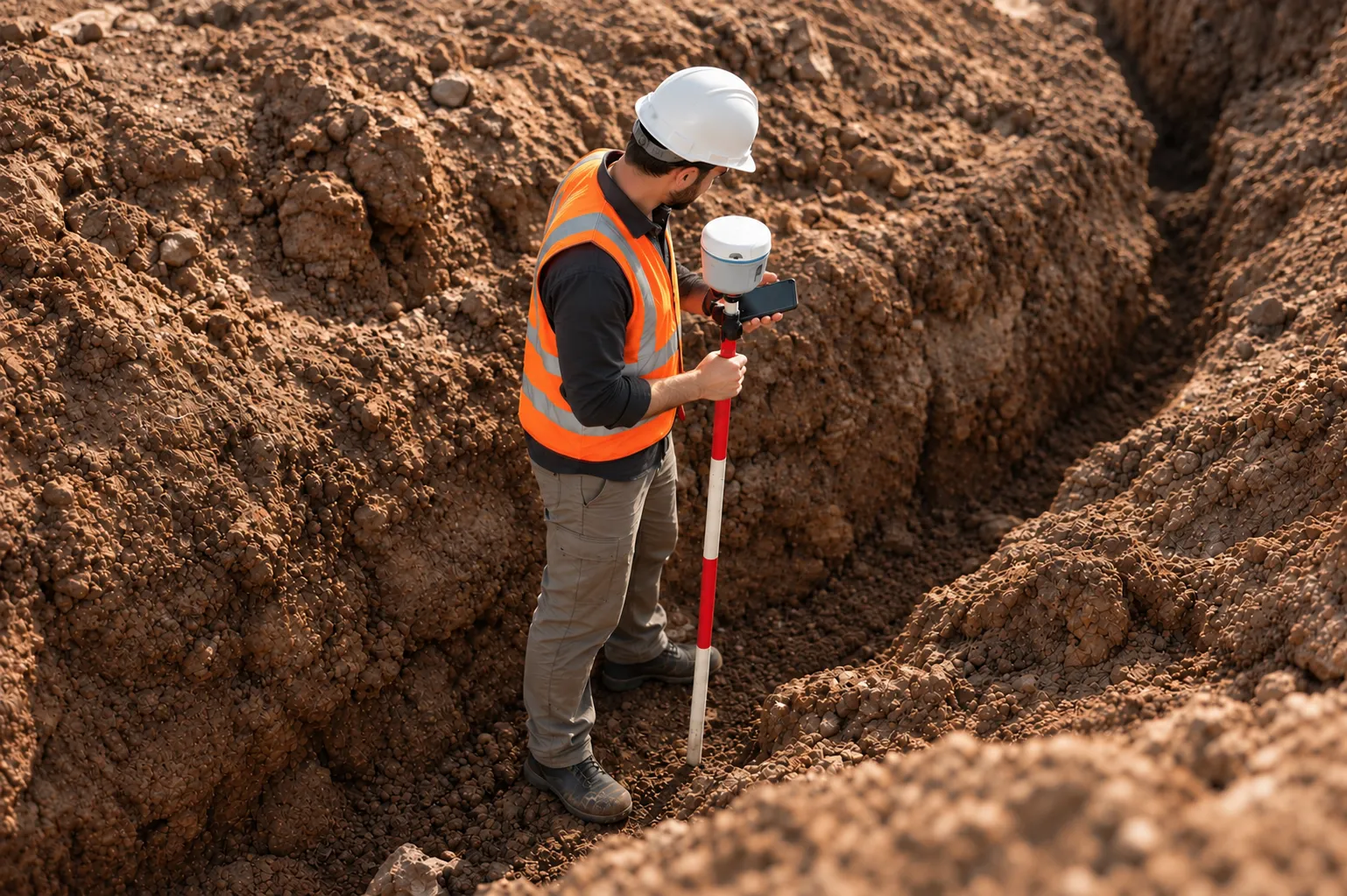
Surveyor in high-visibility vest and hard hat measuring with a GNSS rover pole inside a construction trench.
APPLICATIONS.

Check coverage for your survey area.

Tell us about your operation and we'll recommend the best correction setup for your area.

PRECISION. EFFICIENCY. SIMPLIFIED.

Discover the best product for this application.

Different sectors. One intelligence. Infinite possibilities.