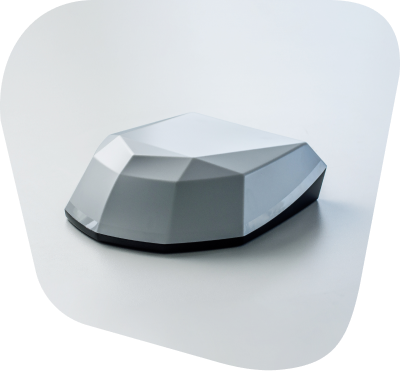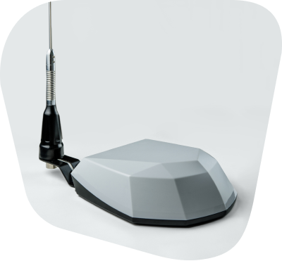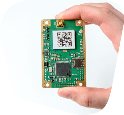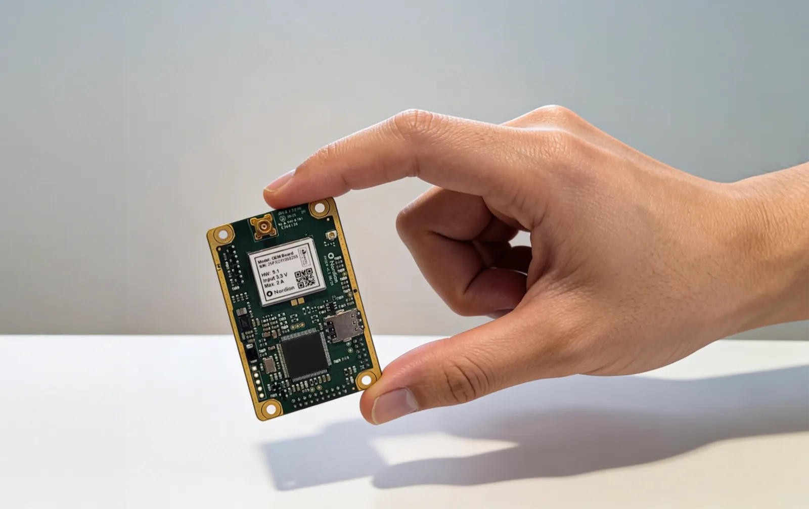
Nordian runs the entire positioning chain in one platform, from the reference network and real-time corrections to fleet management.

Receive network RTK corrections over the internet from Nordian Caster, reducing the need to deploy and maintain a local base station within supported coverage areas.

1-3 cm (0.03 m RMS) horizontal accuracy with supported RTK corrections under specified conditions, for repeatable flight lines, consistent mapping, and documented survey data.

Multi-band, multi-constellation tracking designed to maintain positioning performance near obstructions and under ionospheric scintillation.
Inconsistent GNSS signal quality causing positioning errors between passes.
Local base stations to transport, level and maintain on every site.
Repeat passes and reflights caused by position data that cannot be reproduced.
Positioning performance that degrades in dense urban sites and remote locations.
Network RTK corrections from Nordian Caster help reduce positioning error within supported coverage areas.
Corrections arrive over NTRIP from Nordian's reference network, reducing the need for on-site base hardware.
One reference network supports repeatable flight lines and consistent data across operators and sessions.
Multi-band tracking and multiple delivery paths are designed to support continuity when signal degrades.

Tell us about your operation and we'll recommend the best correction setup for your area.
Different sectors. One intelligence. Infinite possibilities.