INTEGRATED CONNECTIVITY.

The infrastructure layer for Physical AI in hard environments

Centimeter GNSS, corrections and connectivity in one Nordian Platform.

Red tractor pulling a seed planter across a dark plowed field under a cloudy sky.

Precise Positioning

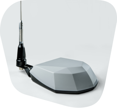
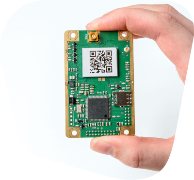
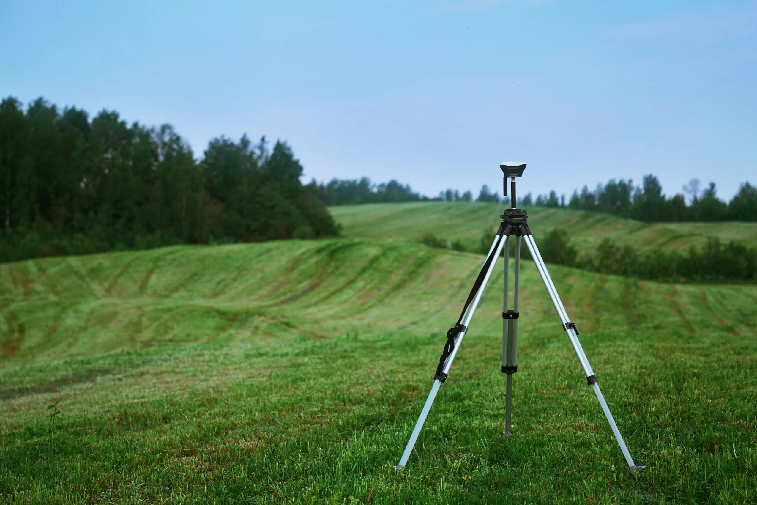
Multi-band, multi-constellation GNSS with 0.03 m horizontal accuracy and 50 Hz update rates. Built in-house, deployed at OEM scale.
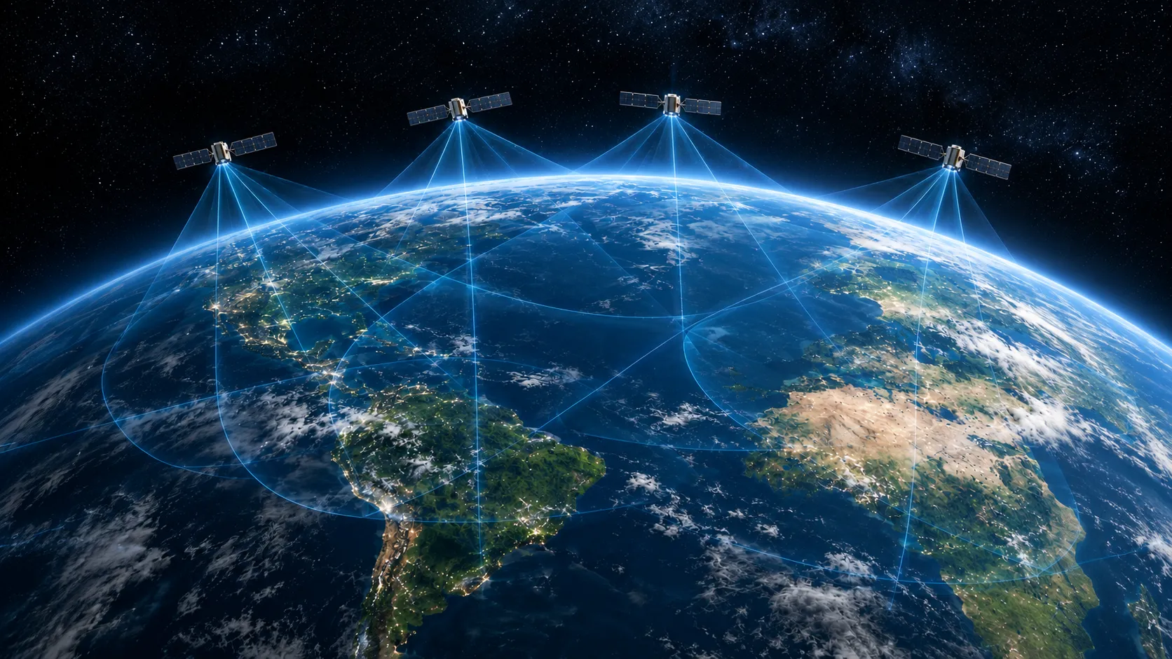
Satellites orbiting Earth connected by a global network of correction links, with city lights visible below.

Satellite Connectivity

Two-way satellite connectivity built into every Nordian system, so your fleet stays online where cellular networks don't reach. Remote telemetry flows straight into the Nordian platform.
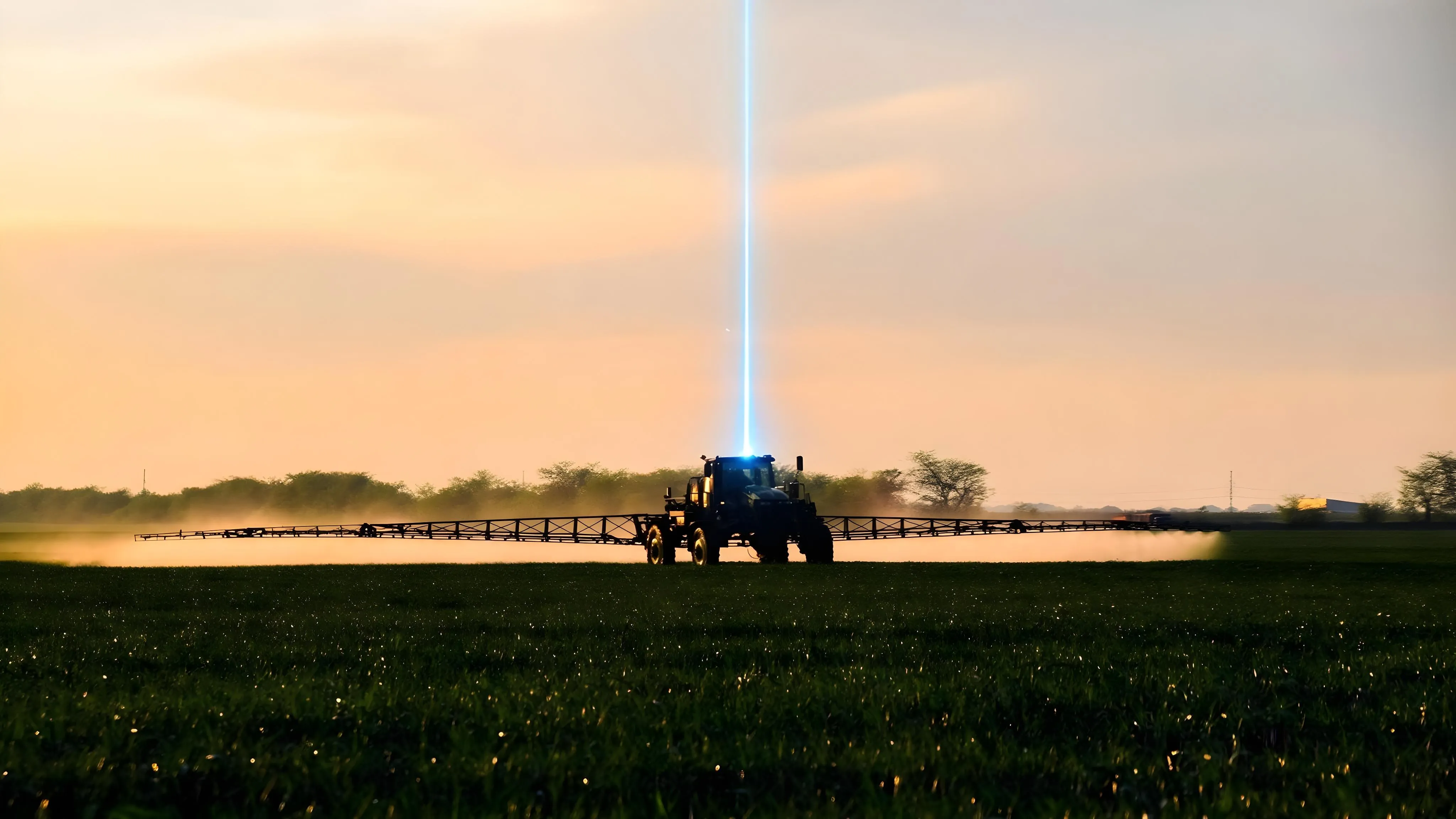
Agricultural sprayer at dusk with a beam of light projecting upward from its cab, representing an over-the-air update.

Fleet Intelligence

Unified platform for activations, telemetry, over-the-air updates, and lifecycle management across every device in the field.

POSITION. CONNECT. THINK.

The platform for global precision and connectivity.

PRECISION. EFFICIENCY. SIMPLICITY.

One platform built for industrial OEMs operating in hard environments.

ONE PLATFORM. EVERY DEVICE.

Intuitive workflow, effortless fleet management.

TOUGH. TESTED. TRUSTED.

Built for hard environments.

Where Physical AI has to work the first time, every time.
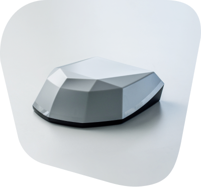
PRECISION. EFFICIENCY. SIMPLIFIED.

The infrastructure layer.

Nordian's own positioning network, integrated satellite connectivity, and one platform that ties it all together. Built for the environments where Physical AI has to work the first time, every time.