Precise positioning, satellite connectivity, and fleet intelligence in one platform.
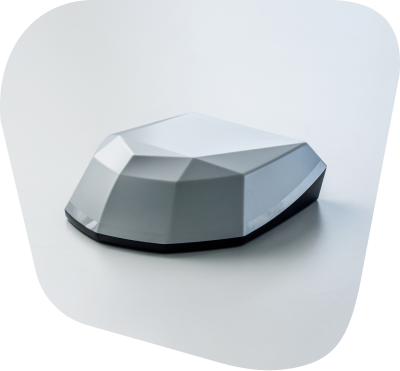
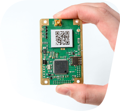
Multi-band, multi-constellation GNSS with 0.03 m horizontal accuracy and 50 Hz update rates. Built in-house, deployed at OEM scale.
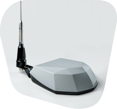
Two-way satellite connectivity for fleets operating where cellular does not reach. High-bandwidth, low-latency, integrated at the platform level.
Unified dashboard for activations, telemetry, over-the-air updates, and lifecycle management across every device in the field.
Where Physical AI has to work the first time, every time.
Exclusive Nordian positioning network, integrated satellite connectivity, and one platform that ties it all together. Built for the environments where Physical AI has to work the first time, every time.